Data access
The Data Écla platform offers several tools for accessing data at different levels of information and with different types of representation.
All the data is also distributed in the form of standardised streams in accordance with the standards governed by the Open Geospatial Consortium (WMS, WFS, CSW) and can therefore be consulted and mobilised directly and without downloading by third-party applications.
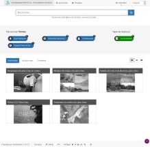
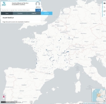
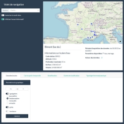
| Discover the ECLA Cluster's data through a cataloguing system and access detailed information (metadata) in the form of standardised records. | Browsing and displaying data with a geographical component on a base map by cross-referencing the various themes; Configuring cartographic compositions for subsequent re-use | Select, filter and visualise thematic data using high added-value representation modes specifically designed to meet business needs |
 |  |  |