With traditional in situ sampling methods, which sometimes require considerable human, logistical and financial resources, the parameters monitored in lake ecosystems are generally measured in a limited number of locations on each lake (often just one) and at very short intervals.
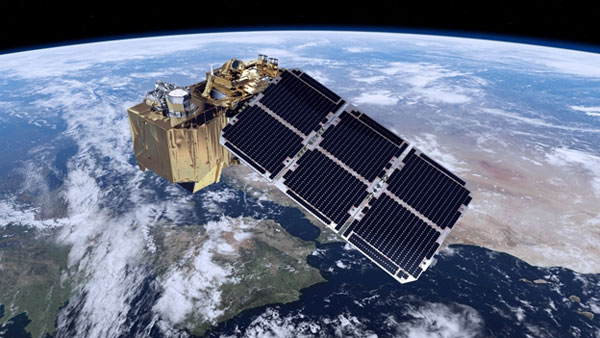
Satellite remote sensing methods are particularly well suited to complementing some of these monitoring methods, as they provide recurrent and regular information over time (in the absence of clouds) and from any point on the lake, enabling both spatial and temporal variability to be captured. Archival images also provide access to measurements taken several decades in the past, which can be used to analyse ecological trajectories.
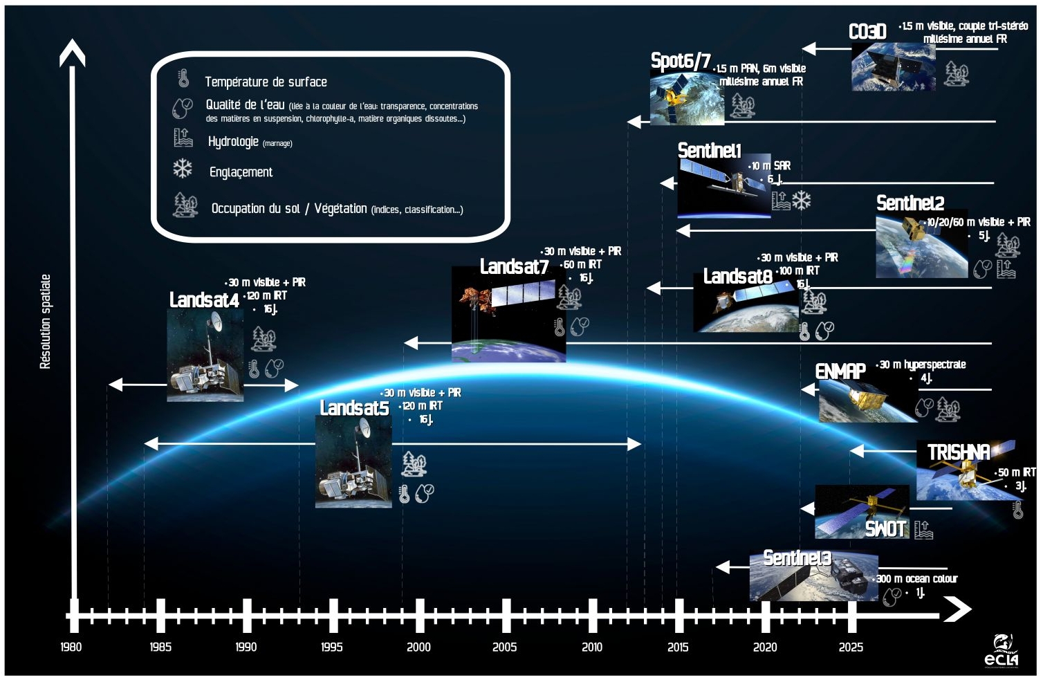
The figure below shows the performance (spatial, spectral and temporal resolution) of the main satellites used (now and in the future) to monitor the various parameters of lake water that can be estimated by remote sensing.
To find out more :
Tormos T, Reynaud N, Danis P-A, et al (2021) Quand la surveillance des plans d’eau prendra de la hauteur, Revue Science Eaux & Territoires, Directive cadre européenne sur l’eau. Revue Science Eaux & Territoires, Directive cadre européenne sur l’eau 37:114–123. https://doi.org/10.14758/SET-REVUE.2021.4.21